Scanning & Modelling
We provide underwater scanning, point cloud cleaning and processing services, produce 3D models and extract the sections, measurements and depth charts engineering work requires — on their own or combined with structural CAD models.
Underwater Scanning
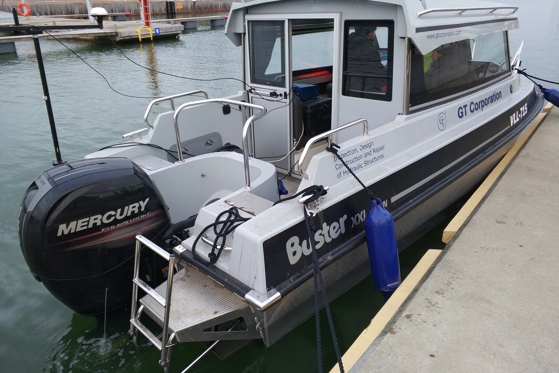
We provide underwater scanning services across the Baltic region through survey suppliers based in Tallinn, Estonia, in partnership with GT Corporation SE.
Our specialists work directly with the survey operators to ensure all captured data matches the customer's exact technical requirements.
Point Cloud Cleaning and Processing
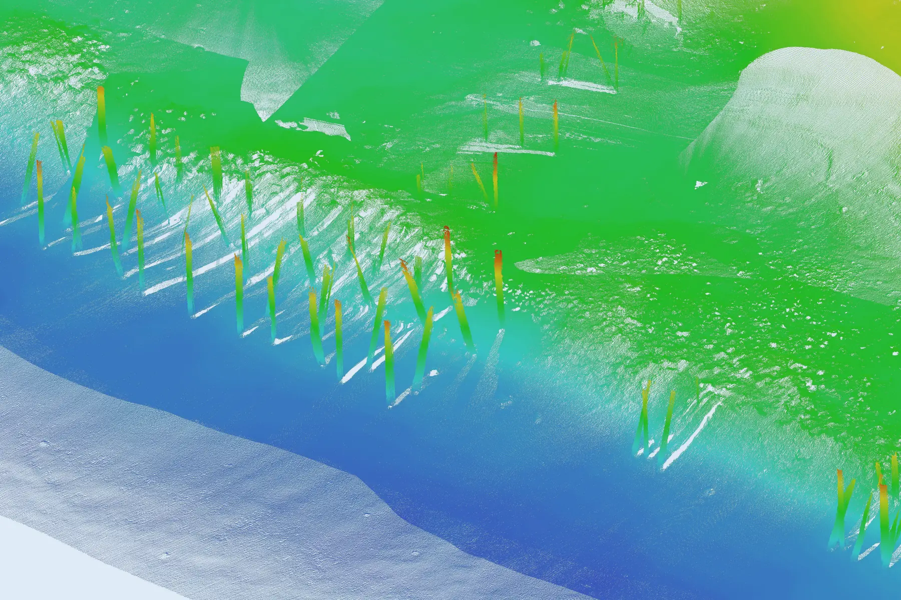
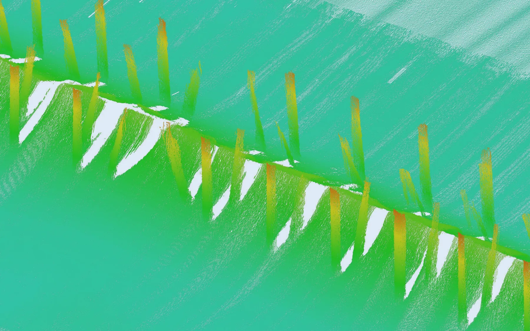
Initial point cloud data often arrives with noise, acoustic reflections, artifacts, and unwanted objects in the scene.
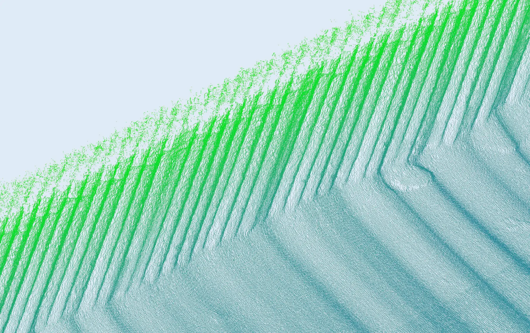
We use our own proprietary in-house software alongside industry-standard tools to clean, filter, resample density, and remove extraneous objects to maximize point cloud quality.
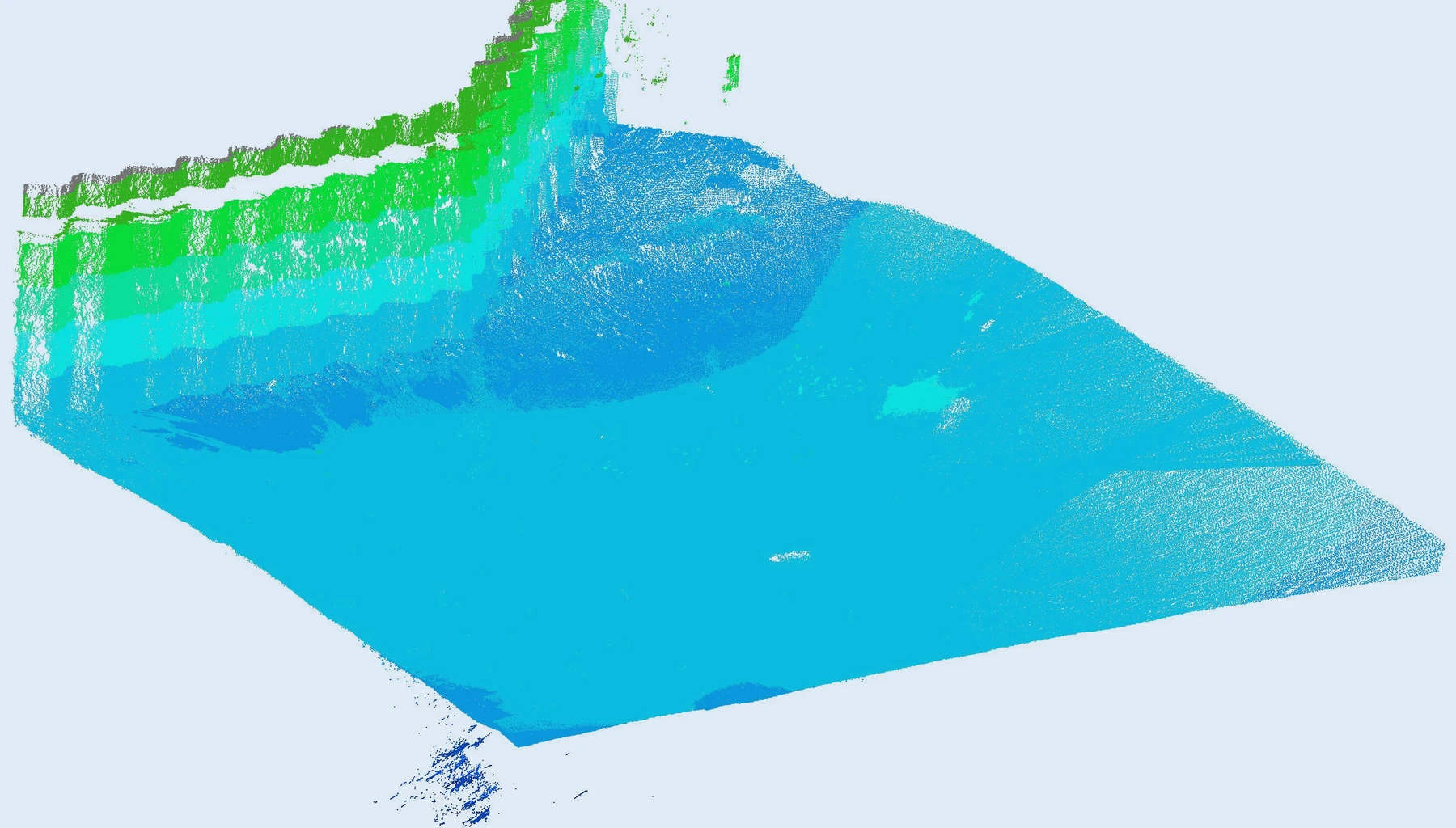 Before
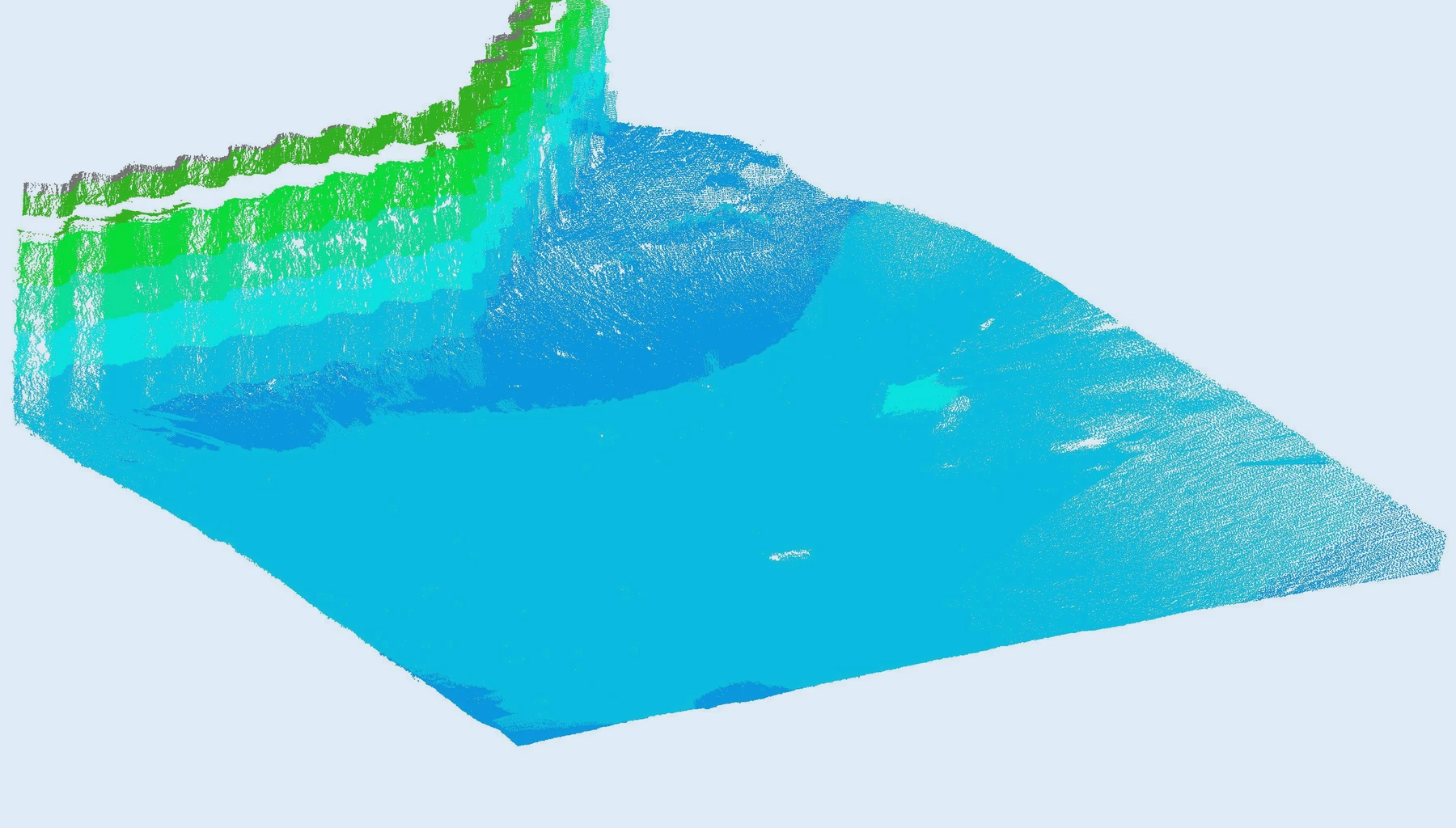 After
After
3D Point Cloud Modelling
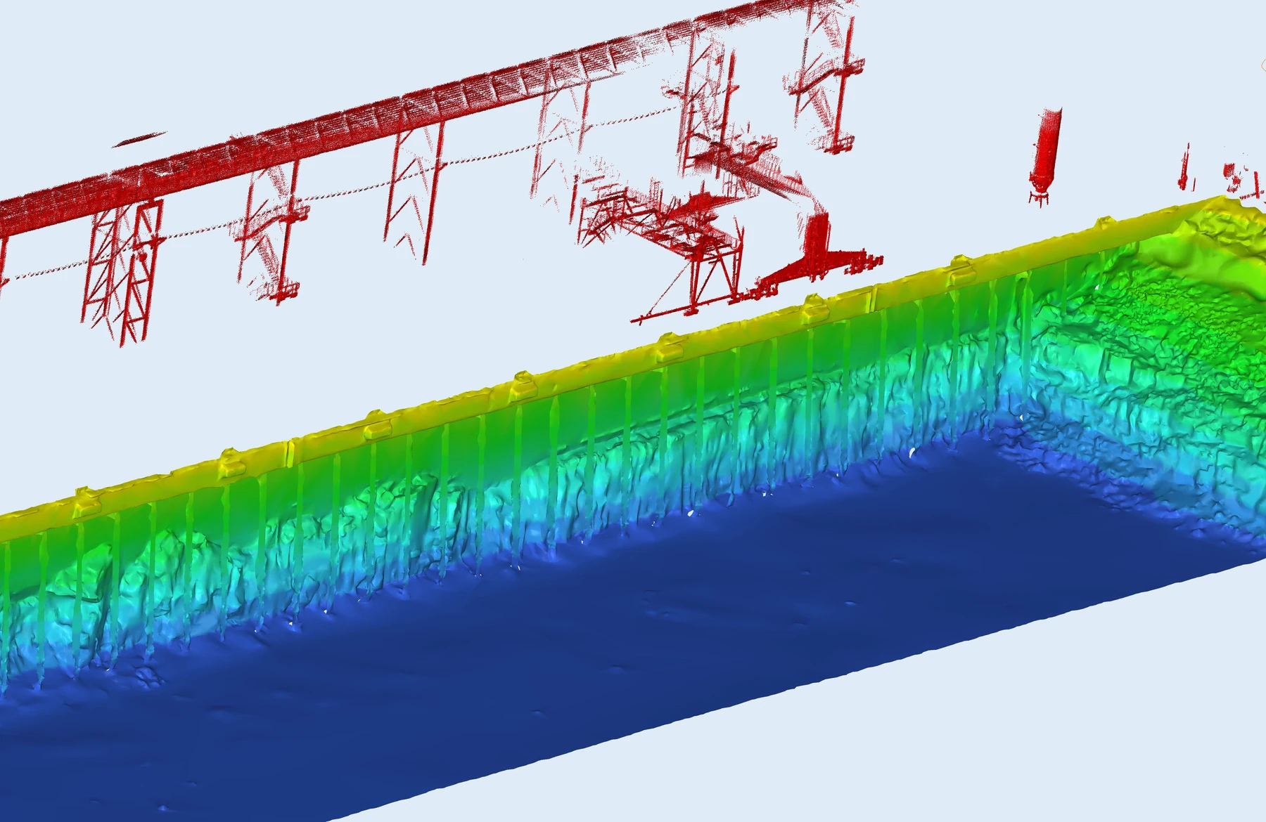
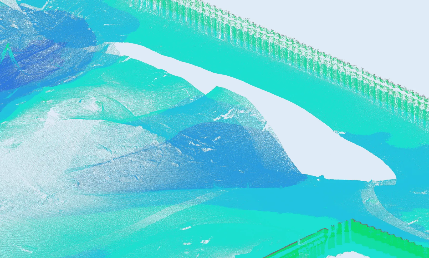
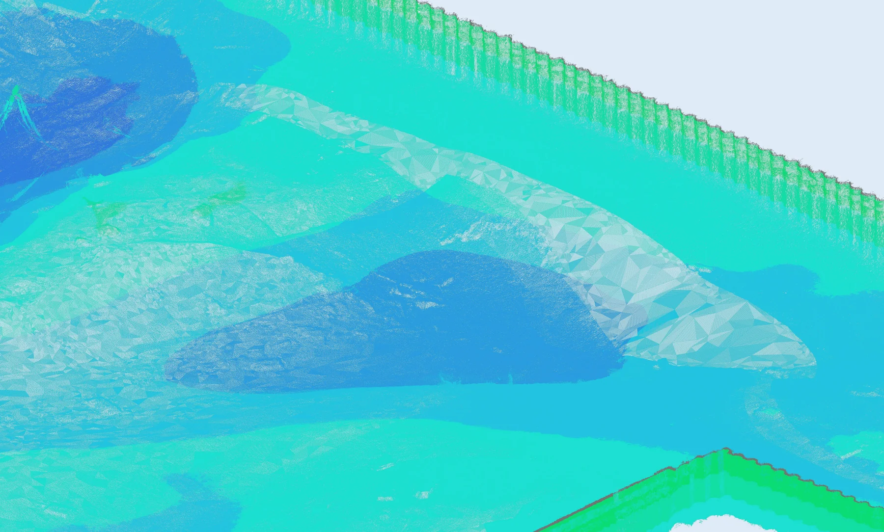
Raw point clouds can be difficult to interpret visually, as multiple overlapping, semi-transparent layers of points obscure key details and complicate inspection.
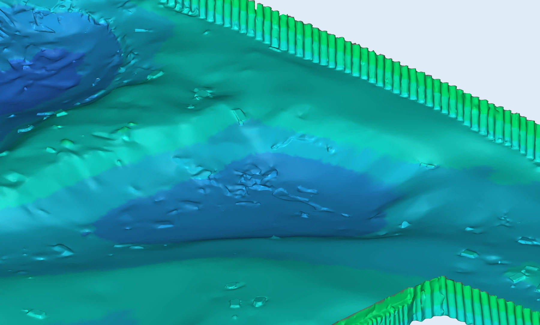
We construct 3D polygonal models from the cloud for clearer visualization and structural analysis. The model approximates the point cloud to a specified tolerance while smoothing out data imperfections, and can be used to reverse-generate a cleaner and denser point cloud.
Sections and Measurements
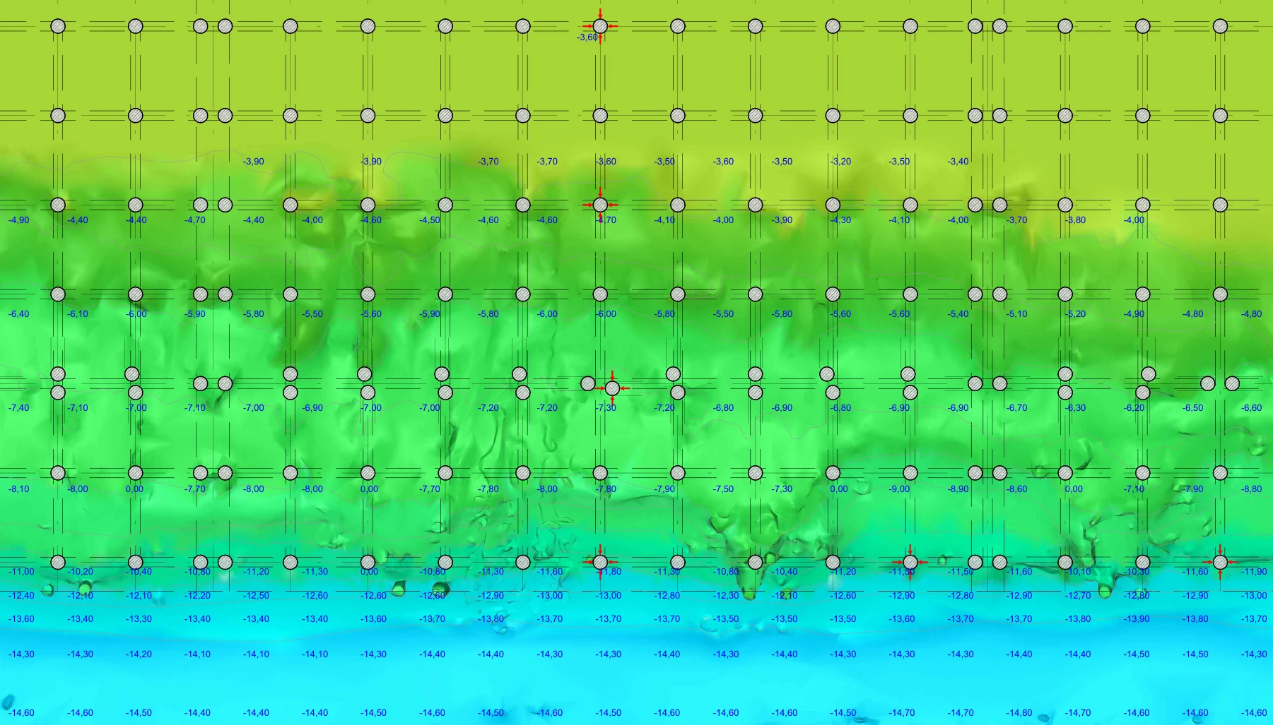
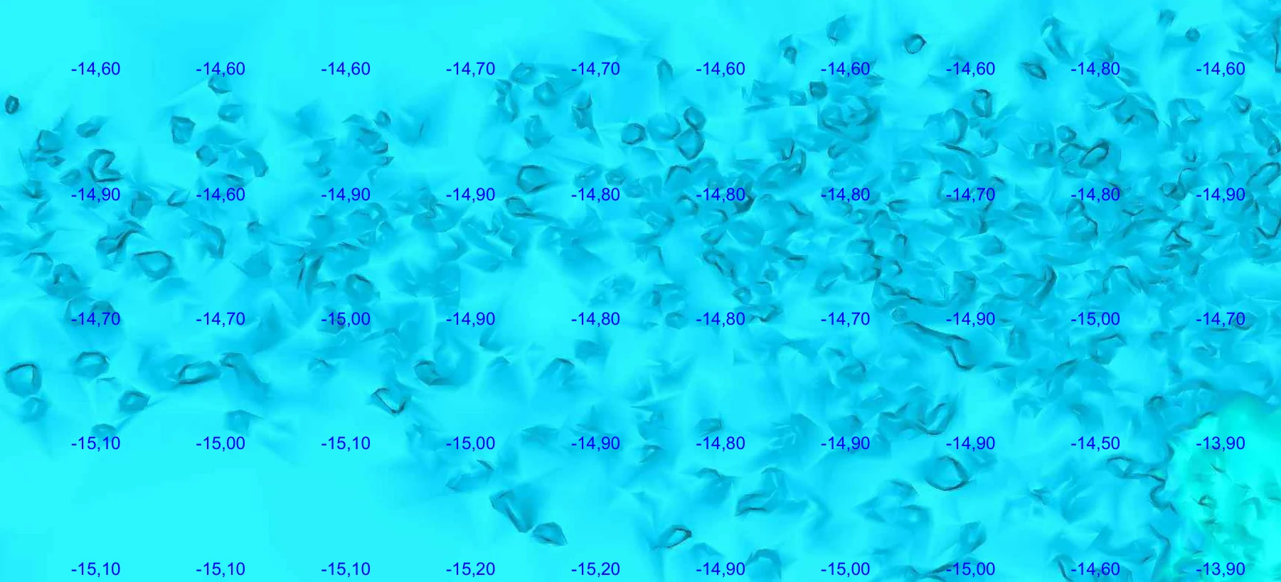
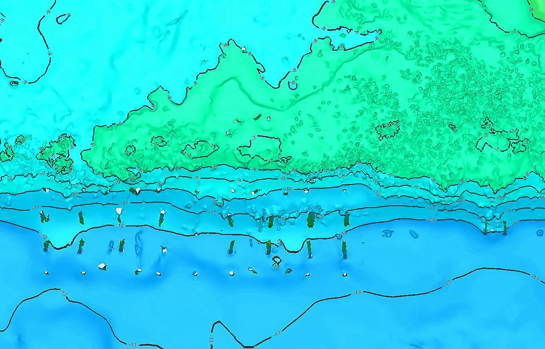
We extract all required spatial and geometric measurements: coordinates, point-to-point distances, surface and section areas, volumetric estimates, and bathymetric depth charts.
Results are generated as numerical datasets, plotted charts, and isometric views of both point clouds and polygonal models.
Cloud, Model and CAD Integrations
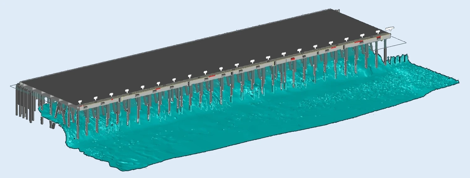
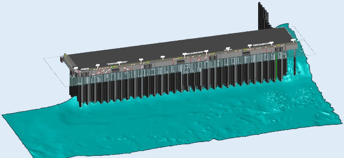
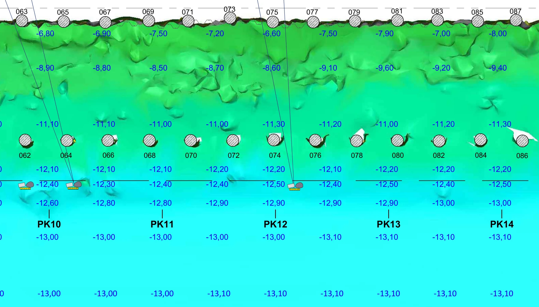
We combine point clouds and 3D polygonal models directly with structural CAD models and drawings.
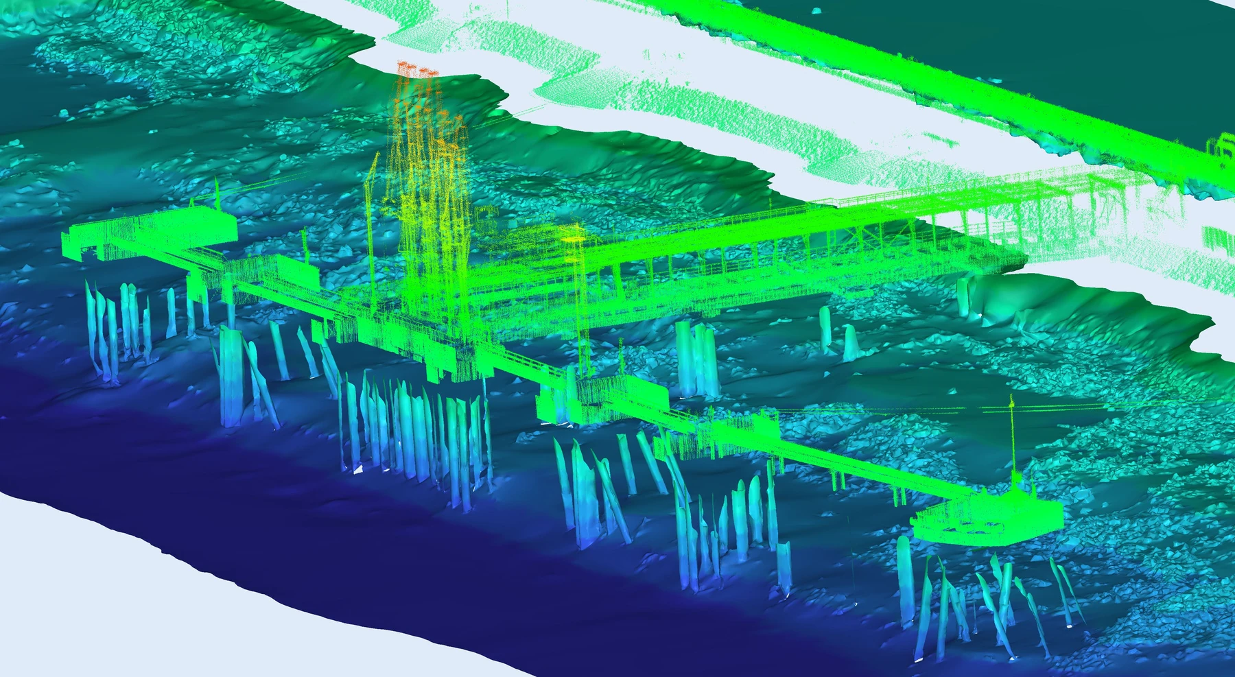
Merging the seabed model with a lidar point cloud or CAD structure provides a unified view of the entire operational surface, complete with required dimensions, deviations, and reference markings.